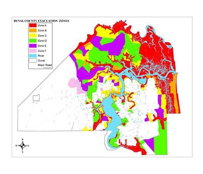
City of Jacksonville Hurricane Preparedness Guide (Flooding)
6/19/2020 (Permalink)
"Flooding is the most common natural disaster in the United States. With many low-lying areas, the St. Johns River, and other waterways, Duval County is always at risk for flooding regardless of whether a tropical cyclone is affecting our area. The impact of a tropical cyclone can vary depending on the amount of rainfall, wind intensity, high or low tide, storm surge, and wave characteristics. The St. Johns River flows north towards the Atlantic Ocean. As a storm approaches, water begins to back up the river, slowing down its flow into the Atlantic. When paired with high tides and rainfall, widespread flooding is a major threat.
FLOODWATER FACTS
• Six inches of moving water can knock over an adult
• Two feet of moving water can carry away most vehicles
• Floodwater can be electrically charged and very dangerous if there are downed power-lines
• Floodwater can contain debris, sharp objects, sewage, and microorganisms
• Floodwater can hide holes or other hazards under its surface"


 24/7 Emergency Service